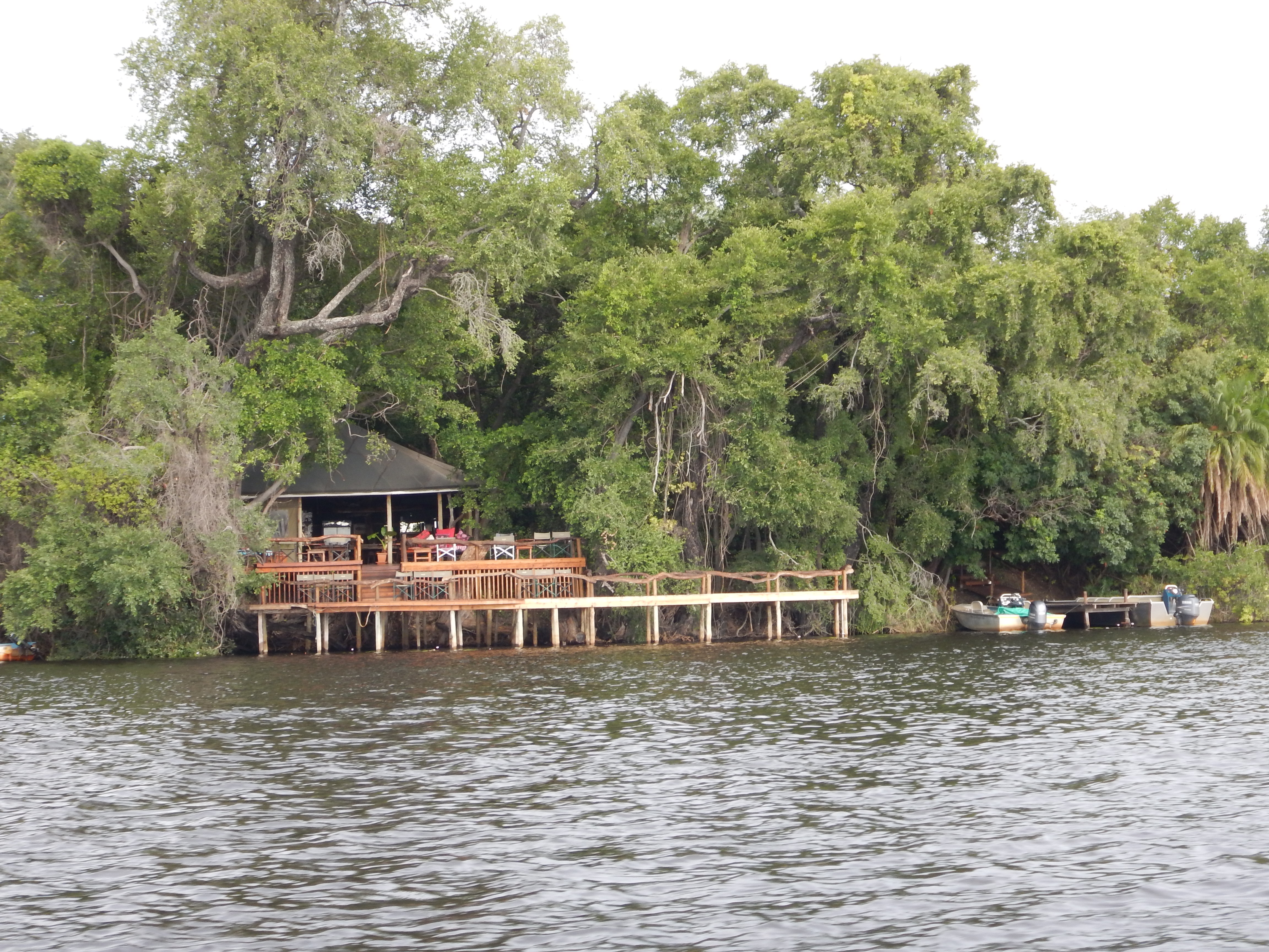
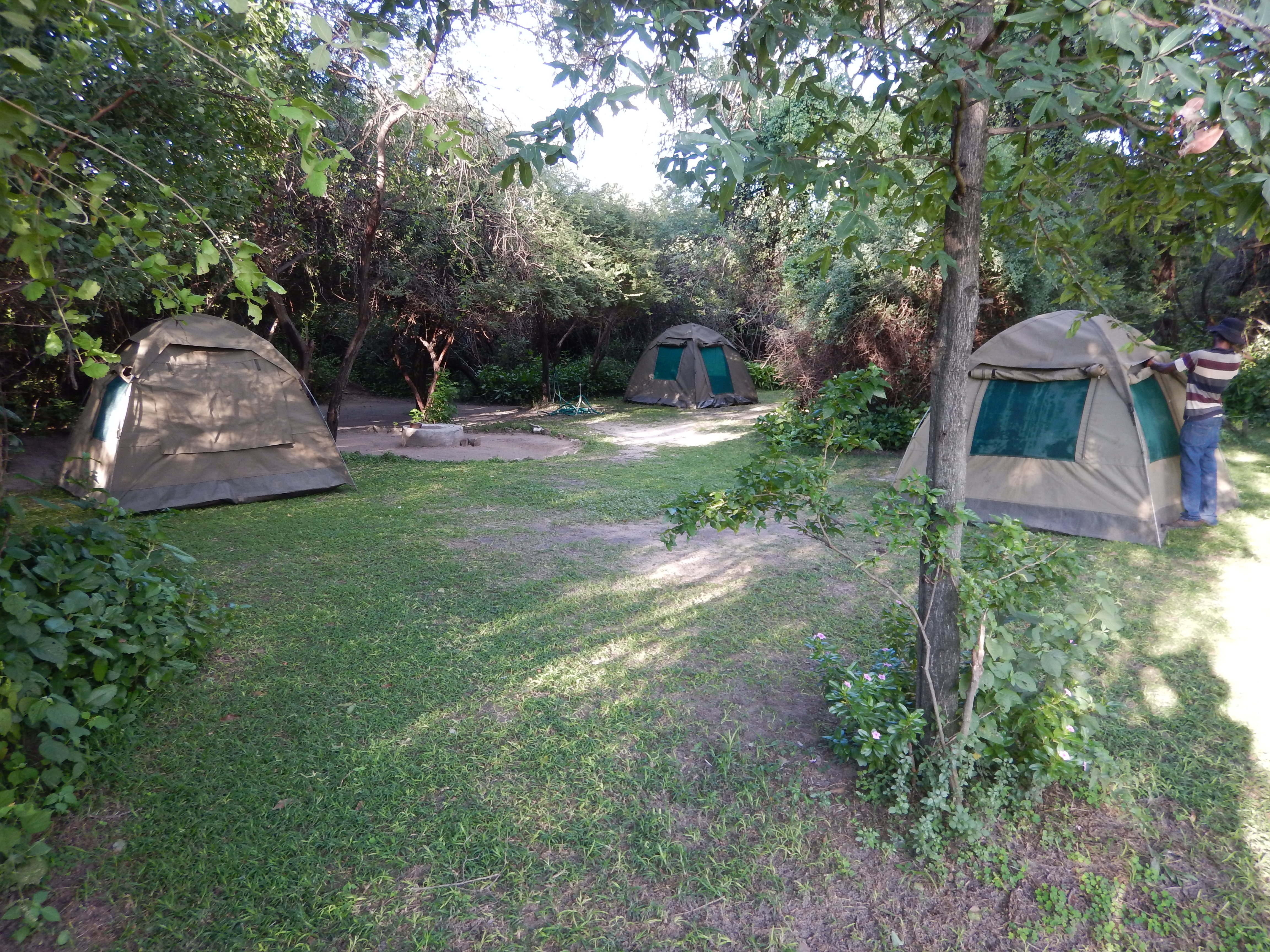
I am a big fan of Guma Lagoon Camp. It’s my favorite place so far. The owners are Guy and Beverly Lobjoit. Guy is extremely enthusiastic about research, which of course scores points in my book. It’s also a very comfortable camp for field researchers like ourselves. We camped in a nice shady, spacious site with our own bathroom and a place to hang wet stuff! This was good because – although we didn’t know it yet – we would get soaked in the rain more than once at Guma and need, among other things, a place to hang wet stuff.
Guma also provides a camp kitchen for all its guests. They have a full service dining room, but you can also make your own food in their camp kitchen. They have a fridge for campers to use, which was very handy.
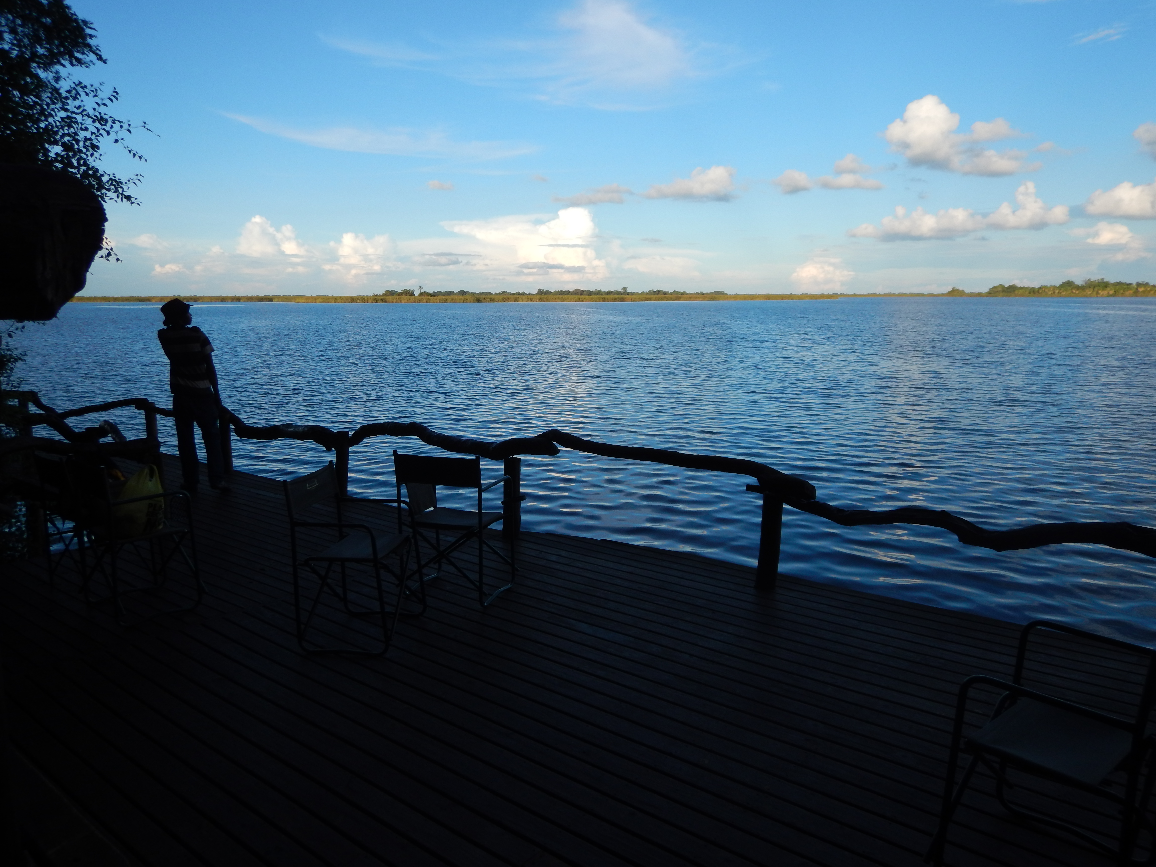
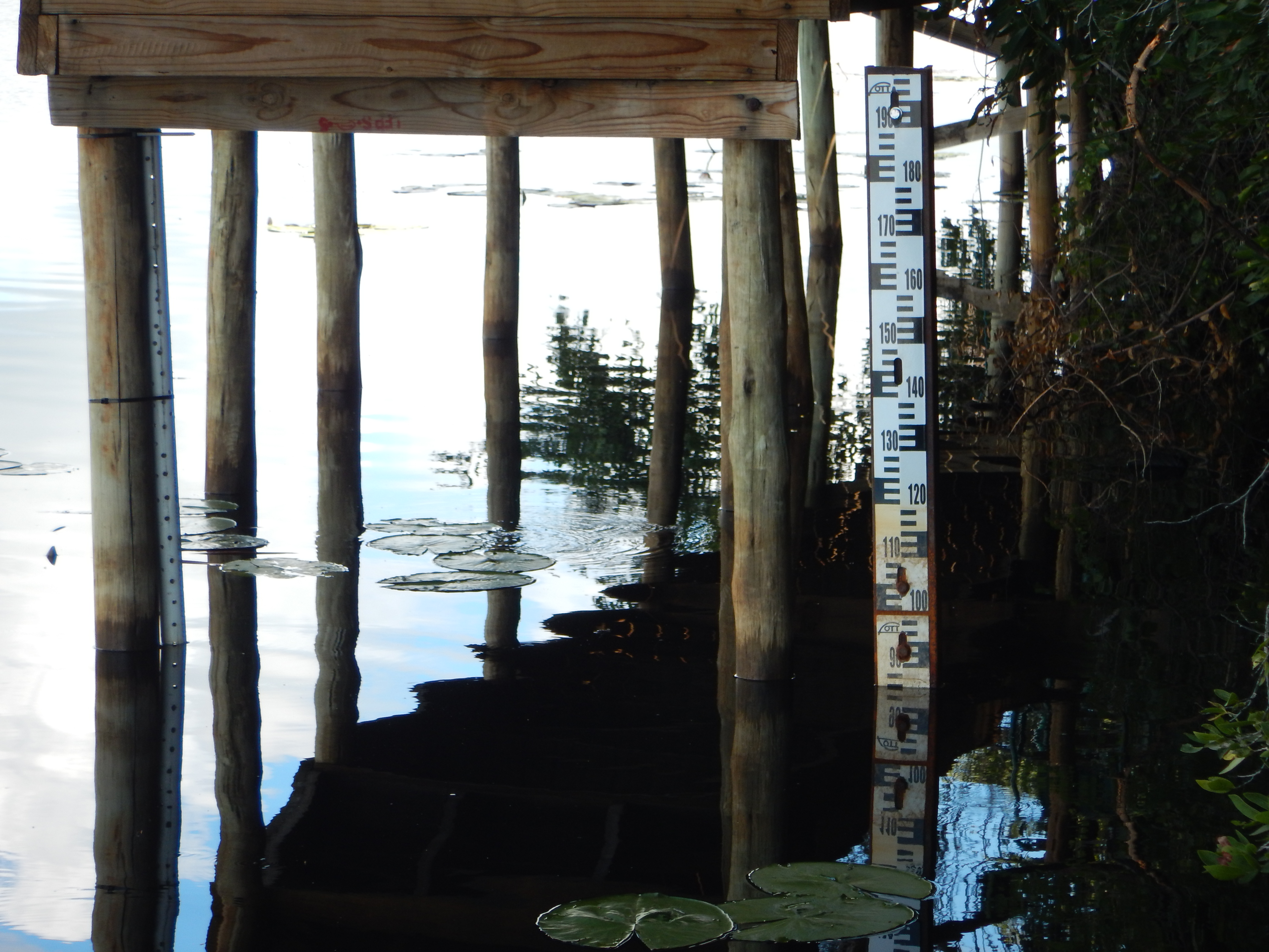
After setting camp, we went up to the lodge to have a chat with Guy and deploy conductivity datalogger number 4 in the lagoon under the lodge deck. Guy ogled my oxygen meter and commented that he thought the oxygen was low because dead fish were popping up in the lagoon, and had been for at least a month.
Sure enough, the meter read 1.4 mg/L dissolved oxygen. This is way below the 5 mg/L minimum to keep fish happy.
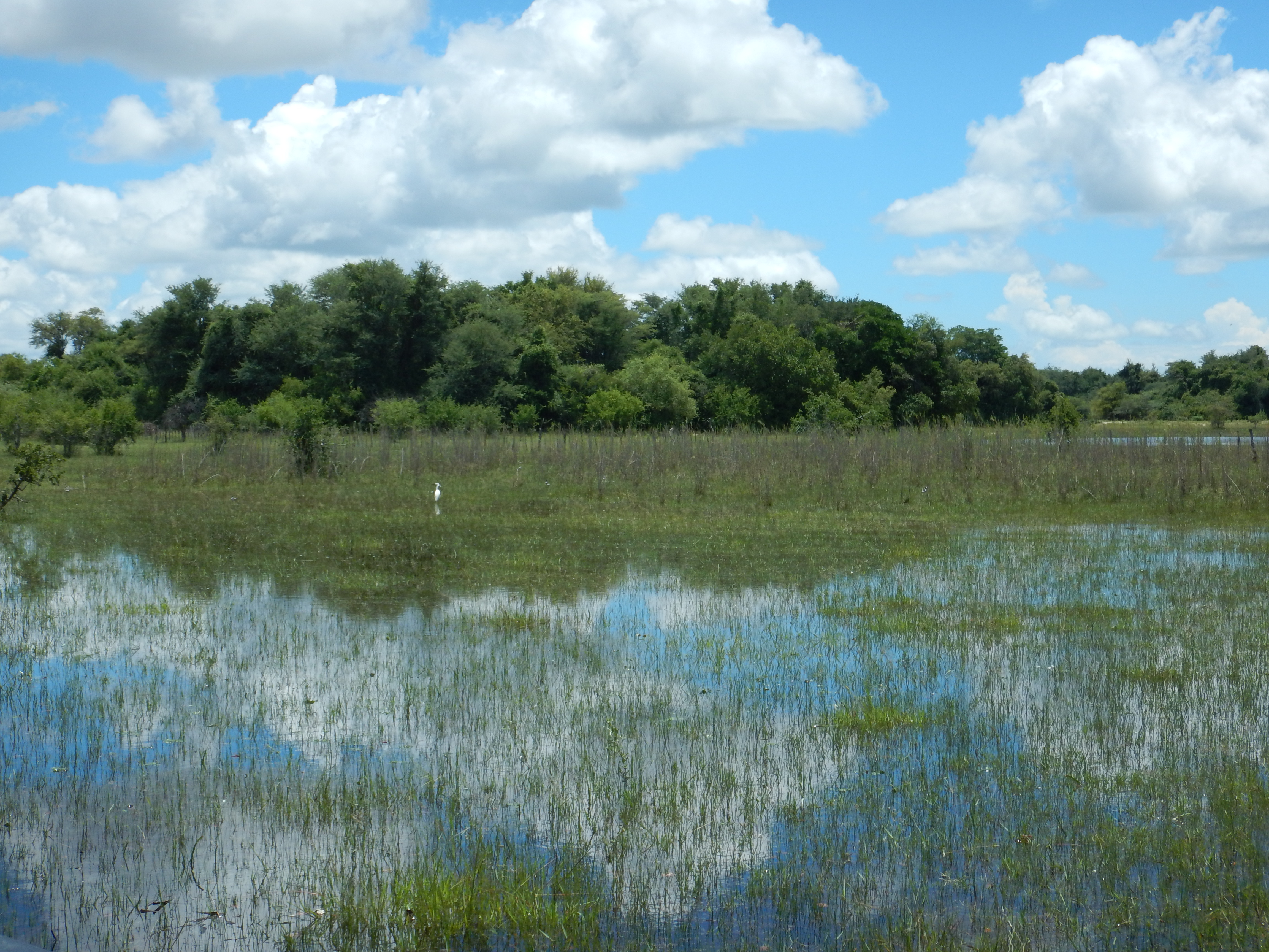
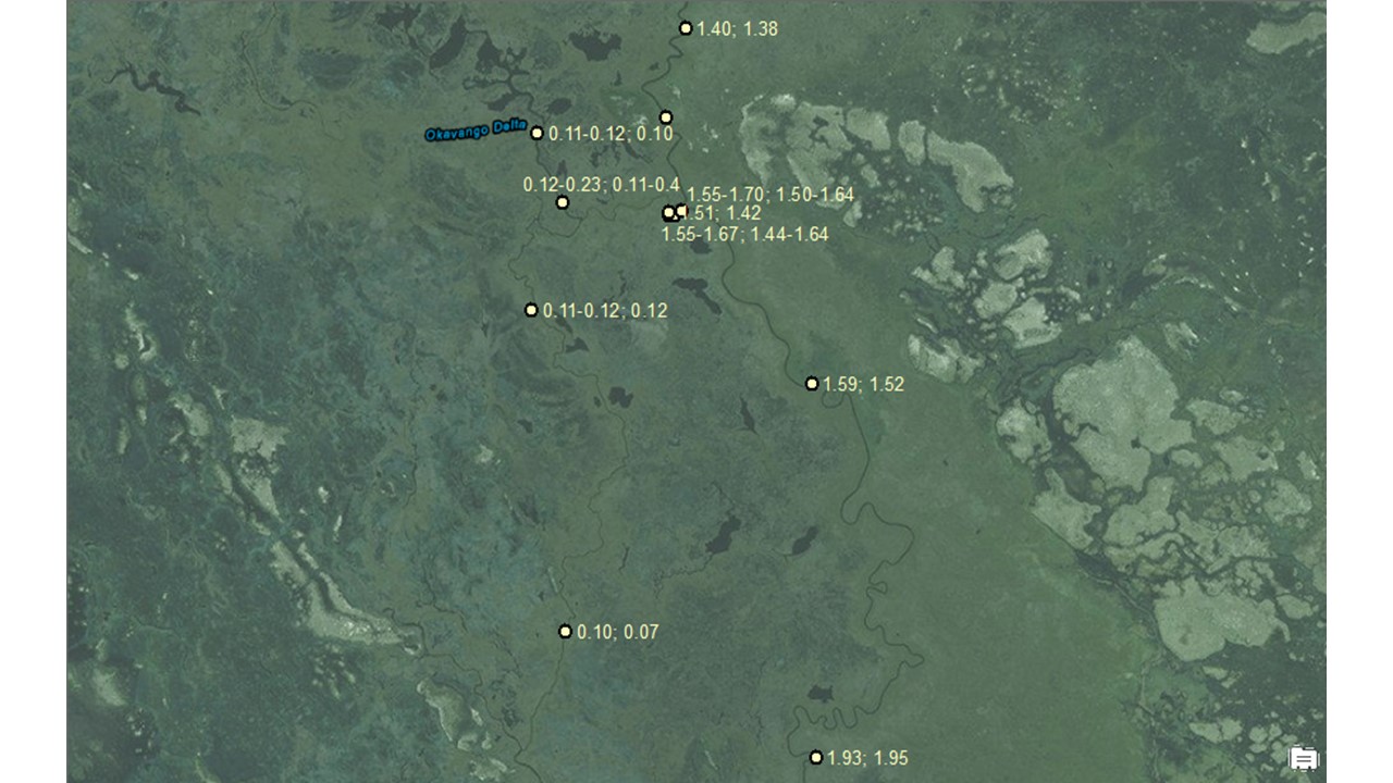
So began 4 days (March 6-9, 2016) of sampling in Guma Lagoon and along the main channel of the river for 47 km. We sampled at the split between the Jao and Nqoga Rivers and around Duba Islands. The whole distance yields oxygen levels between 0.07 – 1.95 mg/L. We measured on the surface of the water and at 4 meters below the surface. We measured early in the morning, at noon, and in the late afternoon.
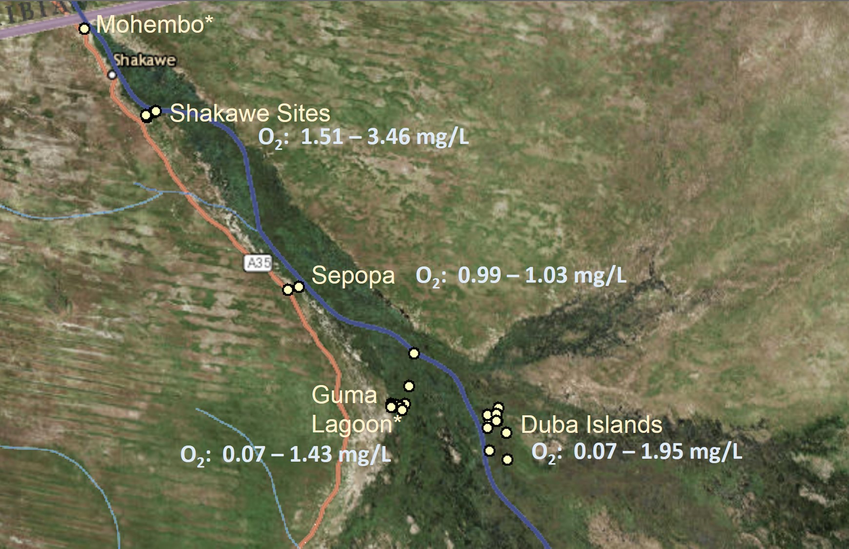
Our remarkable finding is that most of the panhandle channel, from Shakawe to Duba Islands, a linear distance of 108 km, has oxygen levels continuously below 2 mg/L, too low to support most fish.
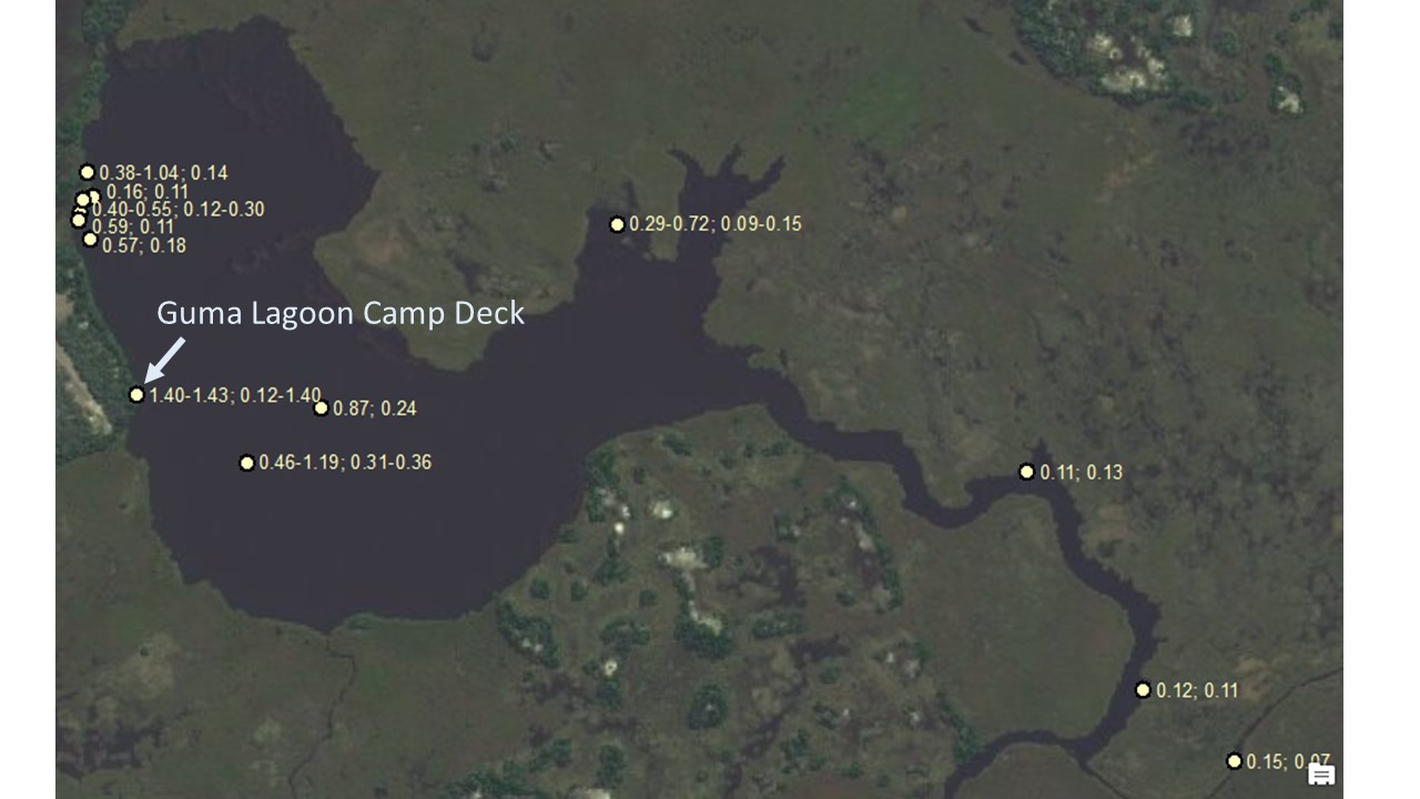
Surface and bottom measurements separated by a semi-colon.
The “bottom” of the river was either the actual bottom or at 4 meters if the depth was greater than 4 meters.
And where are the fish? On our last day, March 9, we saw hundreds of adult tigerfish, dead and floating in the water of Guma Lagoon. Interestingly we, saw no dead fish in the main channel. A friend of mine was in the panhandle near Shakawe in early February and took pictures of dead tilapia in the water.
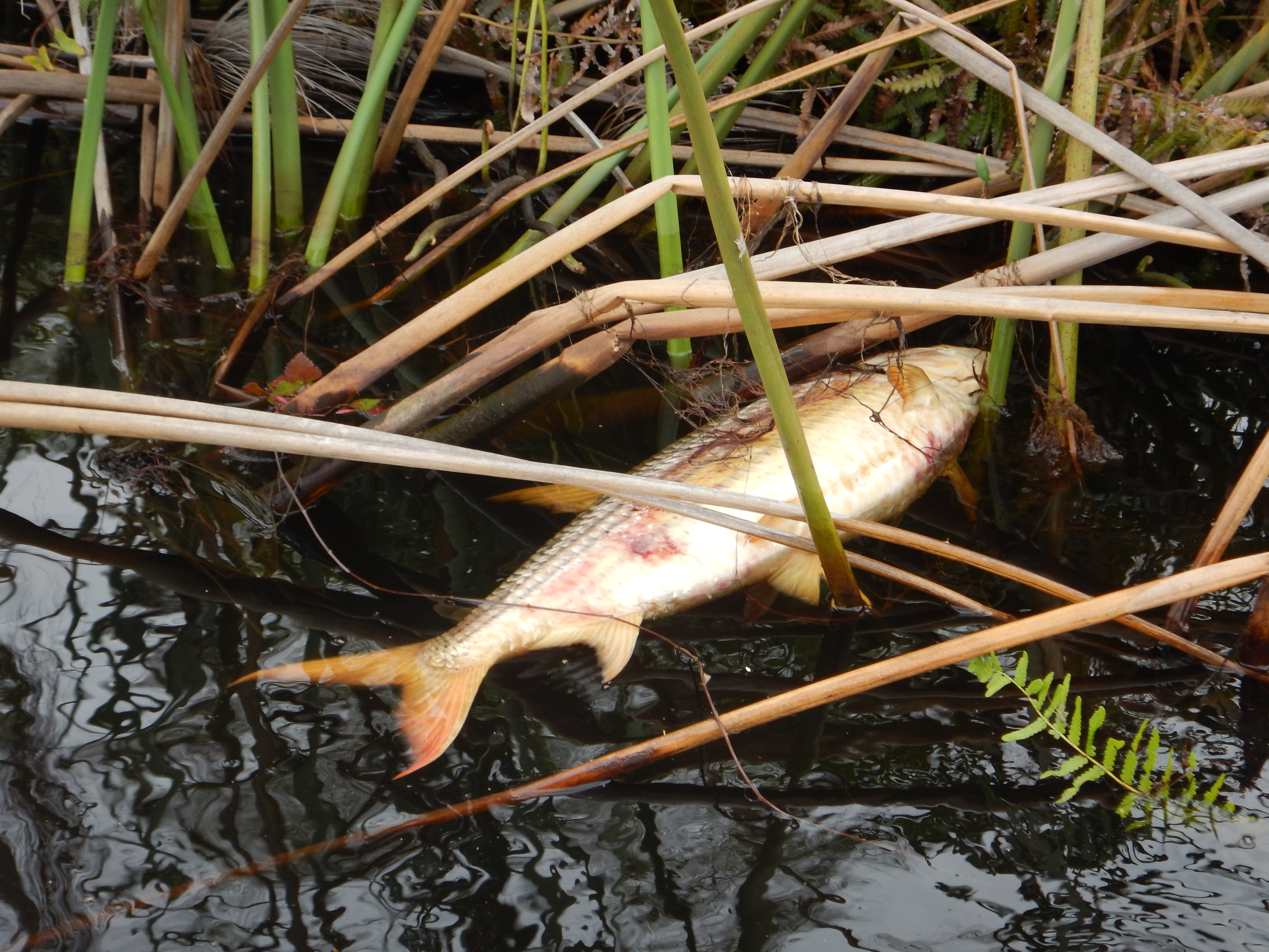
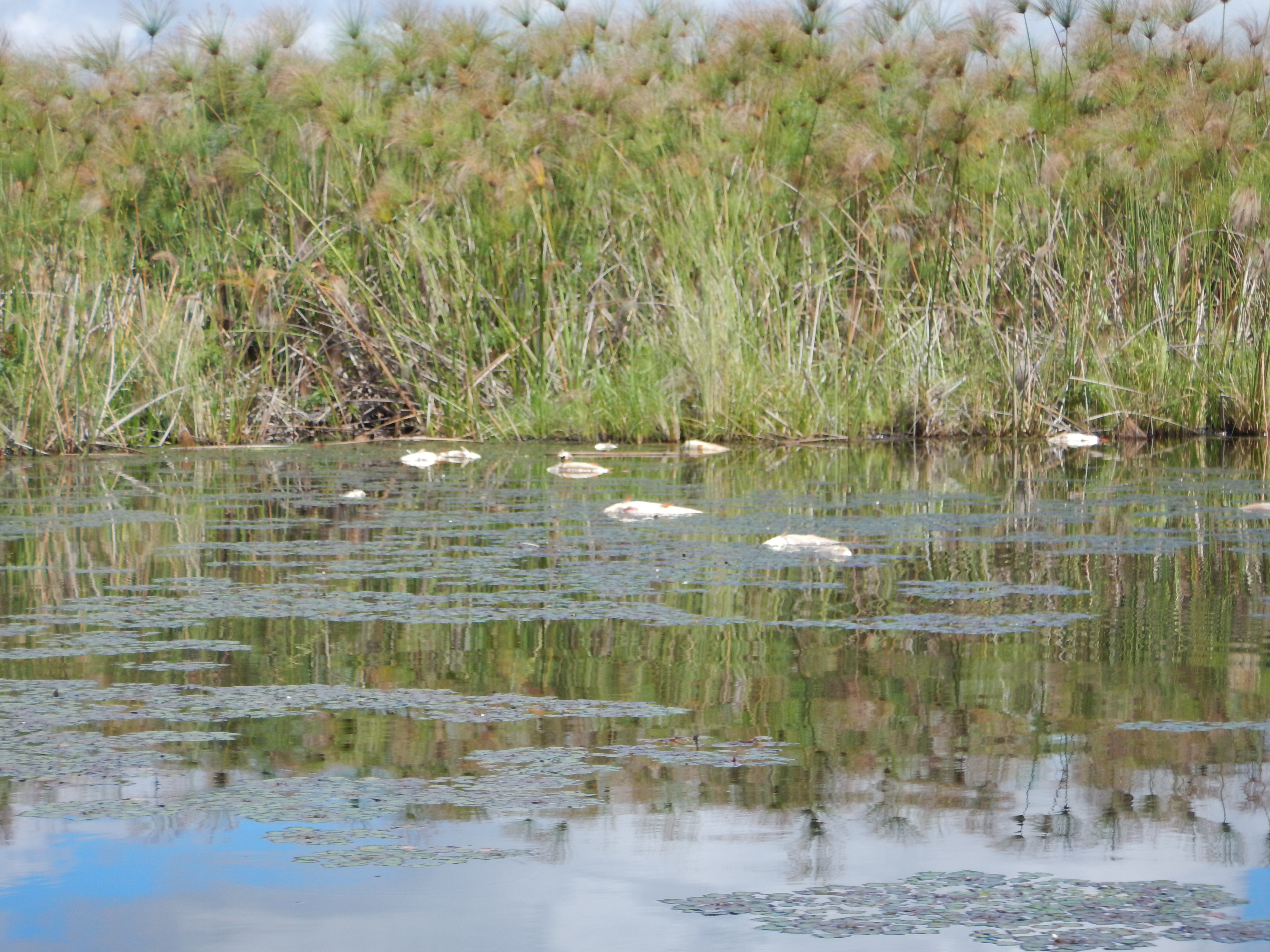
So, the low oxygen is causing significant fish kills, and perhaps driving fish out of the area into the flood plains at the leading edge of the flood. At the edge, oxygen might be higher. I haven’t measured there yet.
So what causes the low oxygen?
Our working hypothesis is this. As rain water floods down from Angola, it moves through flood plains as well as the main channel of the Okavango. On the flood plains, there is lots of plant material that will decompose when wet. Decomposition requires bacteria and fungi, which use up the oxygen in respiration.
The flood is covering such a vast area of decaying plant matter that most of the oxygen is stripped from the water as it flows into the Delta. Also, this year, the flood is moving slowly, possibly because the rainy season is delayed. There is ample time for the water to sit in the plains, losing oxygen to inhaling microbes.
I should point out that I am not the first person to note low oxygen in the Delta. Although I might be the first to blog about it. The phenomenon happens every year to a greater or lesser extent when the new flood water arrives. The extent depends on the speed of the flood – a fast moving flood retains more of its oxygen.
But the repercussions might be considerable. I saw hundreds of dead fish in one little area. There are probably many more on the bottom of the river – invisible losses. The crocodiles and birds will feed well now, but what of the months to come? Can this loss of breeding adult fish cause food shortages in the future? Will the commercial fisheries be affected? What are the economic losses? What about subsistence fisher people? Will they be able to catch enough food?
On the other hand, this is a normal event for the Delta, so it might, in fact, be required for healthy overall functioning of the river. Generalized events like low oxygen, which kill many species indiscriminately, can promote biodiversity by preventing any one species from gaining too much ground (or water in this case).
I feel another proposal brewing.